north carolina gotta get a little wet this weekend

The warm Gulf Stream waters have given Ophelia fuel to form an inner core that's warm at all levels. i.e. 'Tropical'.

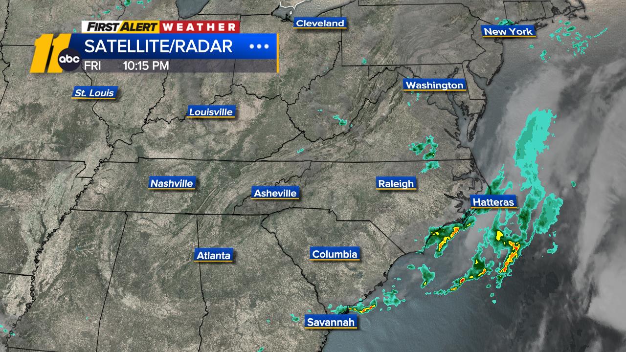
Would not be surprised to see an upgrade to hurricane in the 11 pm or 5 am (ET) updates.


SatRad11_1280.jpg
 
Yeah, sposed-ta start Saturday.

Whatever happened to Mega-Storm Lee??

Whatevah happened to predictabiliteeeee???

Milkman, Papah-boy, eeeevenin' TV!
 
"Recent WSR-88D radar data from Wilmington and Morehead City, North
Carolina, show convection wrapping around Ophelia's center, which is
also embedded beneath a convective canopy in satellite imagery.
Soon after the previous advisory, the Air Force Reserve Hurricane
Hunters measured SFMR winds to hurricane force west of the center
within the deep convection, however those winds were not measured
again on their final pass through that area. Radar imagery and
microwave data from that period showed that a mid-level eye feature
had been forming well to the west of the surface center, but that
feature has since dissipated, suggesting that it--and the

hurricane-force winds--may have been a transient occurrence.
Regardless, the SFMR and flight-level winds were strong enough to
support an intensity of 60 kt, and that remains the estimated
intensity right now. Another Hurricane Hunter aircraft is
scheduled to investigate Ophelia in a couple of hours and should
provide a final estimate of the intensity before the storm reaches
land
."

 
Back
Top