...Central/southern Plains...
Isolated to scattered thunderstorms should develop by midafternoon
near the low and dryline, from parts of western NE to KS and perhaps
over northwest TX and western OK. The airmass ahead of this
activity will destabilize, moisten and get more strongly sheared
with time, supporting all severe hazards to significant levels
(tornadoes, hail, gusts). The activity in NE/KS will occur in less
moisture than farther south, with deeper, strongly mixed subcloud
layers promoting the possibility of earlier cold-pool development
after initial evolution to supercell structures. Relatively dense
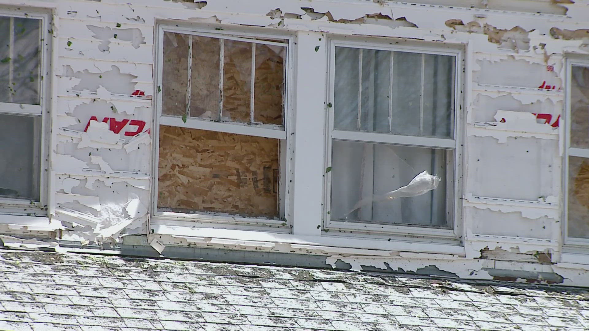
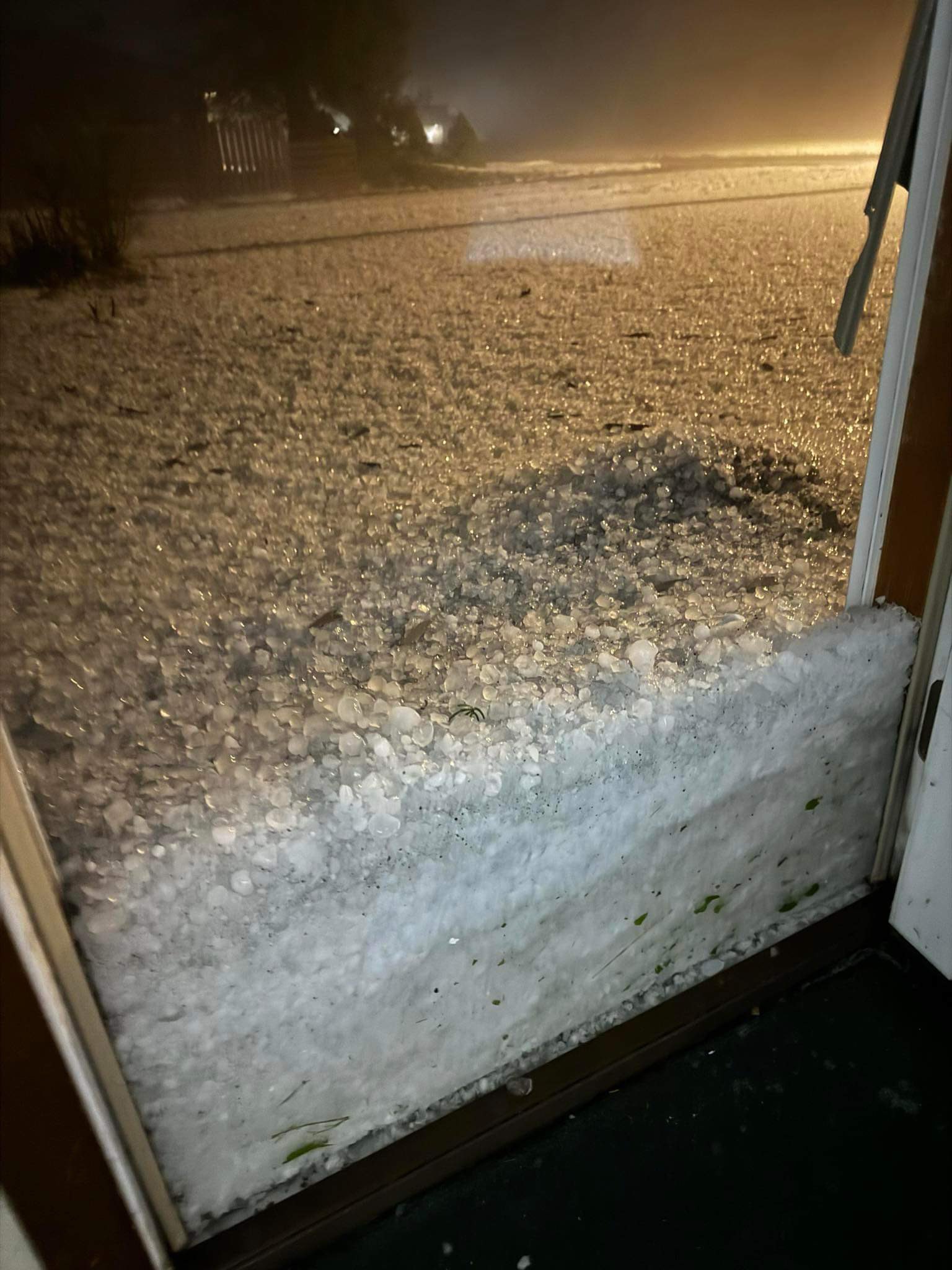
concentrations of large to very large hail, then severe wind, are
possible -- along with potential for a band of thunderstorms to
aggregate and sweep eastward toward the lower Missouri Valley
tonight.
The low-level wind profile for much of the afternoon will support
both right- and left-moving supercells (each capable of very
large/damaging hail). The tornado threat generally should increase
with time from midafternoon into early evening before peaking,
especially from about southern KS southward. As the LLJ strengthens
from late afternoon into evening, greatly enlarging hodographs, and
the richest moisture spreads northward through southern/central OK,
the parameter space will become much more suitable for long-lived,
significant tornadoes. Meanwhile the threat for large to very large
hail and severe downdrafts will continue with any relatively
discrete cells. In parts of north TX to central OK, forecast
soundings from multiple different models reasonably superimpose
MLCAPE of 4000-5000 J/kg, upper 60s to mid 70s F dewpoints, 50-70 kt
effective-shear magnitudes, and effective SRH as high as 400-700
J/kg by early evening. That is an uncommon (even for this time of
year) environment supporting potentially dangerous supercells, and
may spread north of I-40 as far north as southern KS.
However, some important caveats remain that preclude any greater
unconditional severe probabilities for now. The strongest
deep-layer forcing across the central Plains will remaining
displaced north of the remnant/diffuse frontal zone, and thus north
of the richer moisture over TX and into southern OK, for much of the
day and evening. The development of only isolated/few storms in TX
may greatly increase the threat in OK. By contrast, dense coverage
of afternoon convection over west-central/northwest TX may affect
potential farther north -- whether directly through left-split
interactions or indirectly via outflow-related theta-e deficits
advected northward. Also, a plume of high clouds is forecast to
develop and stream east-northeastward for hundreds of miles off the
mountains of south-central/southeastern NM as the shortwave trough
approaches, potentially limiting diurnal heating/destabilization
between about I-40 and southern KS. North and south of that,
heating will be stronger, for longer. Still, any supercell(s) that
can move through the high-SRH, large-buoyancy environment of north
TX to southern KS from late afternoon onward will pose a threat for
substantial tornado production.